12. Hike The Capitol Gorge Trail
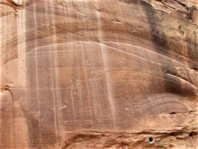

The Capitol Gorge Trail provides additional evidence that the Mormon settlers were here in the late 1800s. The hike itself is less than two miles. It is considered an easy hike with an elevation gain of only 80 feet.
You should only need an hour to complete it. One highlight here is the Pioneer Register, a sandstone wall into which is carved information about travelers. It includes the names of the miners and the settlers who were here more than 100 years ago.
The trailhead is located at the very end of the unpaved gravel road known as Capitol Gorge Road. It’s just off the Capitol Reef Scenic Drive. The trail will lead you through the narrow, vast canyons, which was also the only path early settlers had to get through the Waterpocket Fold.
You can also visit The Tanks, little water pockets that form small pools when they are filled by rain. Speaking of rainfall. It is always good to remember that canyons such as Capitol Gorge can flood during thunderstorms. So be sure to check the current weather report before you go hiking here. You can also stop in at the visitor center and check in with the rangers.
13. The Grand Wash Trail
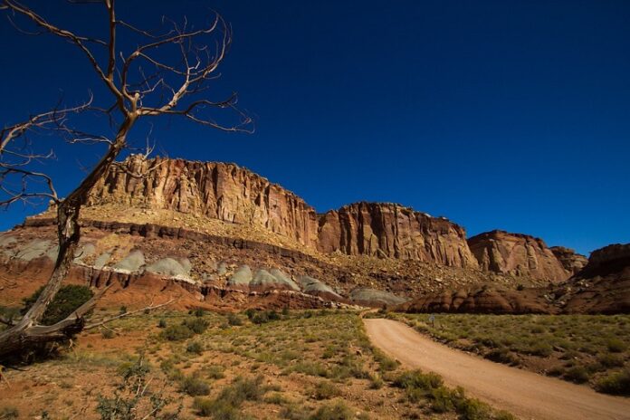
This hike is an easy one. It has a total distance of just under four and a half miles and an elevation gain of 200 feet. Give yourself two hours to complete it.
This (ahem) grand trail will have you hiking through the large canyon in Waterpocket Fold called Grand Wash. This hiking trail follows a spacious sandy canyon that only narrows occasionally as you admire the rock formations and colorful sandstone cliffs. There are two trailheads available for this out-and-back trail.
You can use the Cassidy Arch Trailhead off Grand Wash Road or the Grand Wash Trailhead right off Highway 24. Roughly a mile into your hike the canyon becomes more like a slot canyon. This section is called The Narrows.
