Hiking the entire length of the Continental Divide National Scenic Trail is on many a hearty soul’s bucket list. However, only 200 people a year actually touch the ground of the entire trail from the beginning to the very end.
Every continent on planet earth has a divide; some have multiple divides going in different directions. Interestingly, not all flow north to south. North America has many, and five exist in the United States. The longest is the Great Divide, a whopping 3,100 miles long originating in northern Canada before passing through Montana, Wyoming, Colorado, and New Mexico and then continuing through Mexico.
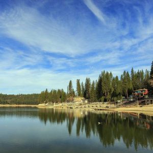
Every year, I take a pilgrimage to South Dakota from Texas to visit friends and family. Fall is always my preferred time to take this journey. The roads and restaurants are less crowded, the weather is cool and inviting for camping along the way, and the path is a canvas of colors and textures only harvest season offers.
One year, a beautiful fall season in the Rocky Mountains was predicted. Colorado was quite a deviation from my normal path, but being retired meant I had lots of time to take a slow road trip with my dog Tipper. The golden Aspen forests beckoned this avid leaf peeper.
My goal to follow the Continental Divide was a lot less lofty than the hikers, and I was extremely glad to discover asphalt roads winding alongside the national scenic foot trail. Leaving Texas in early October we uncovered amazing places plus a few crazy chipmunks along the way.
Related Posts
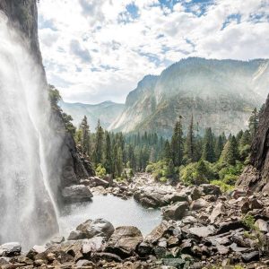
10 Best Waterfalls in Yosemite National Park
ContentsWhere to Find the Best Waterfalls in Yosemite?1.Yosemite FallsDiscover Yosemite’s most iconic cascades2.Nevada FallWhite foam and huge spray at one of Yosemite’s most powerful falls3.Tueeulala FallsFields of…
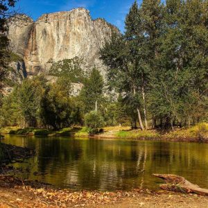
12 Best Hiking Trails in Yosemite National Park
Take a Walk Around Yosemite’s Most Beautiful Landscapes Hiking is very popular in Yosemite National Park as you’ll have over 800 miles of scenic trails to choose…
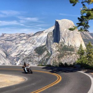
10 Best Things to Do in Yosemite National Park
ContentsWhat is Yosemite National Park Most Famous For?What are the best things to do in Yosemite National Park?1. Yosemite ValleyEnjoy views of the park’s granite mountains What…
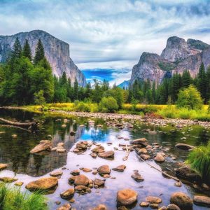
9 Best Viewpoints in Yosemite National Park
Where to Take the Best Photos of Yosemite? Are you about to visit Yosemite National Park? If so, keep reading to discover the 9 best viewpoints that…
10 Must-Visit Small Towns Near Yosemite National Park
There are plenty of small towns near Yosemite National Park, which means you won’t be limited to tent or RV camping during your stay. You’ll find hotels…
19 Incredible Places To Explore In Utah For Dinosaur Lovers
My family digs dinosaurs. My grandson sifts his sandpit, searching for fossils. Living in Utah, he’s likely to find some. Utah has more fossil records for dinosaur…